The Gulf Coast Road at 100: US 41 Through Southwest Florida
A centennial look at US 41 through Southwest Florida, connecting Gulf Coast places with the route's broader 1926 and 1949 history.
Road history
The Gulf Coast Road at 100: US 41 Through Southwest Florida
US 41's centennial offers a useful way to read the living Gulf Coast corridor: one numbered route, local chapters from Fort Myers to Sarasota, and a history that keeps Naples and Miami in their proper places.
What turns 100: the US 41 route designation, approved with the U.S. Numbered Highway System on November 11, 1926. The centennial does not mean that every modern mile, bridge, bypass, alignment, or endpoint has carried US 41 for a century.
Along the Easy Sun Coast, US 41 is less a museum piece than a thread through present-day Gulf Coast choices. It helps explain why Fort Myers, Punta Gorda, North Port, and Sarasota can feel like separate travel chapters while still belonging to a larger north-south road story.
Naples is the historical hinge
US 41 was included in the original system that received final approval on November 11, 1926. At map level, the original route ran broadly between Naples, Florida, and Copper Harbor, Michigan. Naples was the original southern endpoint—not Miami—and that makes it the historical hinge for this centennial story.
That history is useful here as context, not as a reason to turn this into a Naples destination guide. The local planning lens begins farther north, where the Gulf Coast corridor becomes a sequence of places to slow down, reset, and choose a next stop.
Gulf Coast chapters: river, harbor, and city rhythm
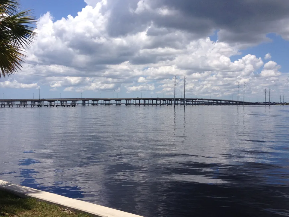
Fort Myers offers the river chapter: a larger Gulf Coast landing where a road day can shift toward an evening base and a change of pace. Punta Gorda offers the harbor chapter, with the Peace River and Barron Collier Bridge giving the corridor a clear local frame. Start with the Punta Gorda guide when that is the stop you want to shape.
North Port and Sarasota carry the story north in different registers. North Port reads as an inland-adjacent continuation of the Gulf Coast corridor; Sarasota is the more urban, cultural, and coastal chapter before the road keeps moving. These are present-day planning chapters, not claims that every modern street or local alignment has held the same route history since 1926.
The Tamiami Trail has its own timeline
The Tamiami Trail was completed in 1928 as a Tampa-to-Miami road via Naples. Its road-building history is important to understanding southwest Florida, but it is not identical to the history of the US 41 number.
The Naples-to-Miami section carried US 94 before it became US 41. In June 1949, AASHO approved extending US 41 from Naples to Miami and abandoned US 94 between those cities. Miami is therefore a later US 41 extension, not an original 1926 endpoint. Keeping those timelines separate makes the Gulf Coast story clearer: a road can be historic without every portion having the same route designation history.
Use the local corridor as a planning layer
For a practical Gulf Coast phase, use the Miami to Route 20 via the Sun Coast trip guide to compare Fort Myers, Punta Gorda, Venice, and Sarasota as reset anchors. It keeps the planning job local: choose the kind of stop that fits the day, then let the larger road trip develop from there.
For the full route history: Route41RoadTrip's US Route 41 Centennial guide is the route-wide historical authority for the original Naples-to-Copper-Harbor corridor, the later Miami extension, and the route's evolution beyond the Easy Sun Coast area.
One road story inside a larger 1926 network
US 41's local Gulf Coast chapter also sits inside a bounded network story with US 17 and US 20. For that wider context, read Roads of 1926. It connects the three routes without replacing the detailed history held by their route-specific guides.
Accuracy and source note
This article uses the November 11, 1926 final-approval date for the U.S. Numbered Highway System; map-level evidence for the original Naples-to-Copper Harbor US 41 corridor; the 1949 AASHO action extending US 41 to Miami and abandoning US 94 there; and National Park Service history of the Tamiami Trail. It treats the centennial as a designation anniversary, not a claim about the age of every modern road feature.
Useful after the anniversary
The centennial is a timely reason to notice US 41, but the local value lasts beyond 2026. It gives a little more shape to a Gulf Coast drive: Naples as the original historical anchor, the Sun Coast as a chain of present-day choices, and Route41RoadTrip as the place to continue when the full road story calls.